The students form groups of 4-5 people. In the Positioning Systems course they have been given the task of writing software that can track several types of signals: wifi, bluetooth, and mobile network signals from nearby antennas, where the strength of signal depends on distance. Their programs can also to show how far a person may have walked during a certain period from the point at which the person was most recently seen.
Technology to save Rhinoceros
A command centre has been set up close to the savannah where the Ngulia project, which works to save rhinoceroses from poachers in Kenya, is normally on display for
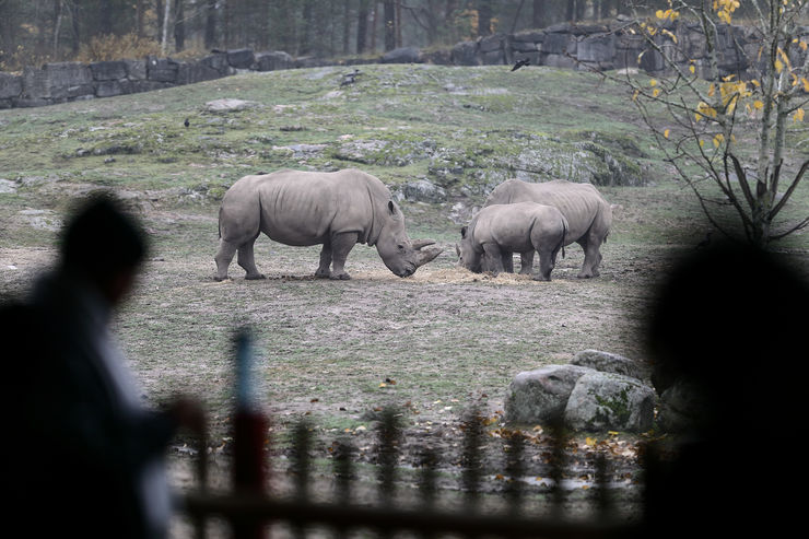 Rhinoceroses munching in the autumn dampness. Photo credit Peter Holgersson AB
Kolmården’s visitors. The LiU project manager for Ngulia, Professor Fredrik Gustafsson, is also here. Computers are connected and sim cards are inserted into mobile phones, to which apps are then downloaded, while rhinoceroses, antelopes, zebras and three alert ostriches strut past in the autumn mist. The ostriches keep a hostile eye on us while the other animals are more relaxed, more interested in food and each other than in us.
“We have received a call for help to find a lost person, most recently seen at the Farmors kök restaurant”, says David Gundlegård, senior lecturer and course coordinator.
Four groups start the search. The alarm was raised at 11.10 am. A drone takes off to collect signals from the terrain, and the
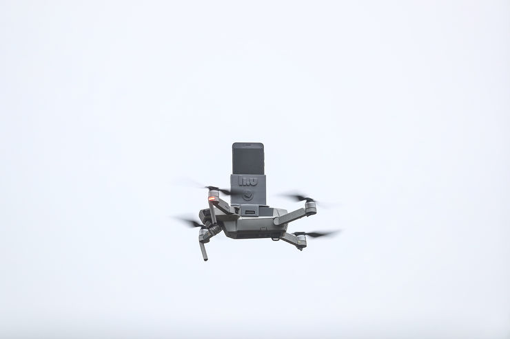 A drone with a cell phone Photo credit Peter Holgersson AB
baby rhinoceros runs worriedly to its mother, disturbed by the buzzing, whining noise.
Black cross on the screen
Fifteen minutes later the group that consists of future engineers Lina Fredriksson, Ina Eriksson, Mirna Baaoth and Emma Persson receives a positive indication in the form of a strong black cross on the screen. They have collected bluetooth signals from the drone, and determined the positions of all electronic devices in the area. “There’s someone here – the green crosses come from moving people, while the black one comes from someone stationary. One of the assumptions we were given was that the lost person would not be moving”, says Emma Persson.
 Mirna Baaoth and Emma Persson Photo credit Peter Holgersson AB
She remains with Mirna Baaoth at the command centre while Lina Fredriksson and Ina Eriksson set out to search the park. It becomes clear, however, that they are in the wrong region, based on a previous indication that came from one of the park employees. Emma starts to consult the other groups, whose scouts are closer to the right place, while Mirna tries to guide Lina and Ina in the right direction by sending them a screendump of the position.
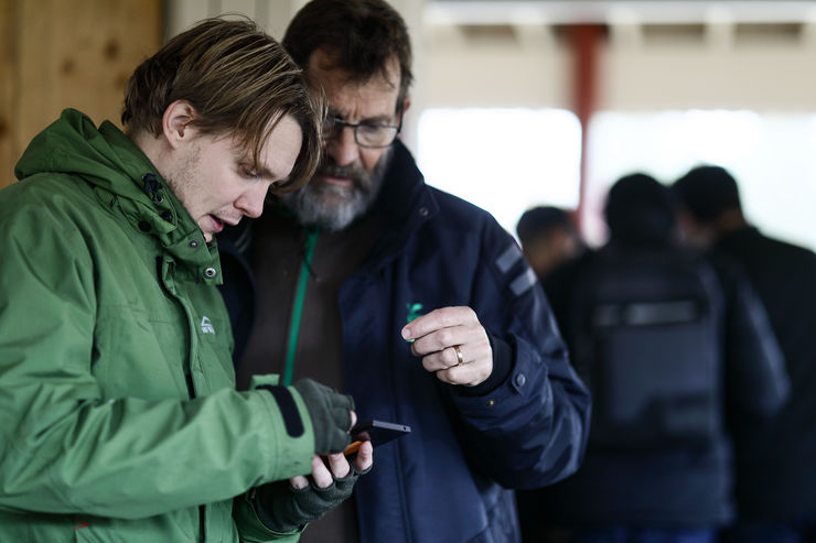 Rasmus Ringdahl and Mats Amundin Photo credit Peter Holgersson AB
The other groups have now reached the same conclusion about the area in which to search for the lost person. Some students from another group are first to reach the correct position and find Rasmus Ringdahl with a smile on his face. He is research engineer in the Division for Communication and Transport Systems, KTS, and has played the role of the lost person.
“At least one of the groups passed quite close to me right at the beginning”, he says happily, grateful to be found after only 25 minutes and just in time for lunch.
Quick search
After a very welcome lunch break, when everyone had the chance to warm up indoors, it was time for the next four groups to repeat the search.
Rabii Zahir and his group of master’s students Dhananseyan Gnanasekaran, Mohamed Elsayed and Johan Cederström had
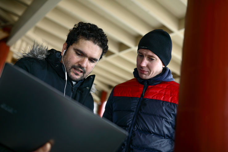 Rabii Zahir and Johan Cederström Photo credit Peter Holgersson AB
the task of writing software to show how far a person can move from a given position in a given time. This group could also follow mobile telephone signals. While the first four groups were occupied with their searches, Rabii and the others watched their progress on the screen and gained something of an advantage when preparing for the next round of searching.
“He can’t have got any further than this, so he should be within this area”, they say, pointing at the screen.
Several of the other groups had similar indications and a few minutes later Rasmus Ringdahl was safely located in the undergrowth. “But all of the groups were sent after me”, he laughs.
“It’s just great to see the commitment the students have put into this”, says Fredrik Gustafsson, satisfied with what he calls “the largest game of hide-and-seek in LiU”.
Computers, telephones and internet dongles are collected and stored. The students wander away through the autumn-tinged rolling countryside, deep in discussion, to take the bus back to Norrköping. The elephants, who today were spared visits from “lost” people, have great fun relaxing in a wonderful pool of mud.
The Positioning Systems course gives 6 credits and is a compulsory course in the fourth year of those studying engineering and specialising in communication, transport and society. It is also compulsory in the first year of the master’s programme Intelligent Transport Systems and Logistics. The technology platform used in the exercise is the result of the Senzoor research project, a collaboration between LiU and the Kolmården Wildlife Park, financed by the municipality of Norrköping.
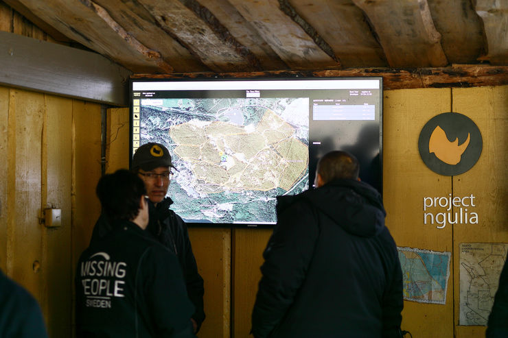 Missing People attended the workshop Photo credit Peter Holgersson AB
“The Kolmården Wildlife Park is excellent for controlled experiments: we have permission to fly drones, access to infrastructure, and many different types of sensors. It’s also great fun when the students get to test in real life the positioning methods they have developed in the course”, says David Gundlegård, who is not only course coordinator but also project manager in the Senzoor project.
PS. The Farmors kök restaurant is part of the Bamses värld section of the Kolmården Wildlife Park.
